Historians and K-12 students use historical maps for a similar purpose. Maps provide a window into the past. They enable us to see what people knew or understood at a particular time in history. You can find paper maps and digital maps in great plenty online, but one outlet for digital maps is the free, interactive site HistoryMaps.
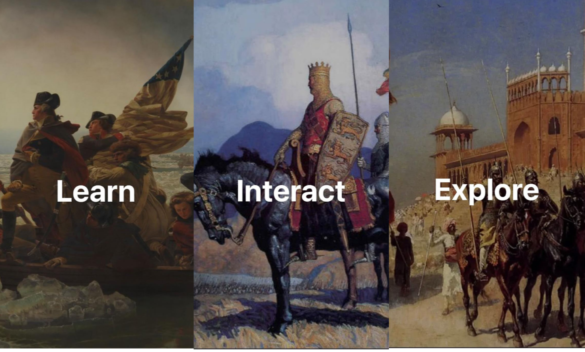
Learn, Interact, Explore with HistoryMaps
HistoryMaps, available online or via the Android or iOS app, makes it easy to access historical maps. Additionally, the interface is available in multiple languages, including Arabic, Chinese, English, French, Spanish, and Portuguese.
The founder of HistoryMaps, Nono Umasy, describes his goal in this way:
Once upon a time…I loved reading stories about far-off lands from picture books at the local library. Much of that same sense of wonderment still remains with me today. I still love History. I’m still curious about stories from remote places that happened a long time ago. So, when I decided to study again, I wanted to create something to help me. This was how HistoryMaps started.
About HistoryMaps
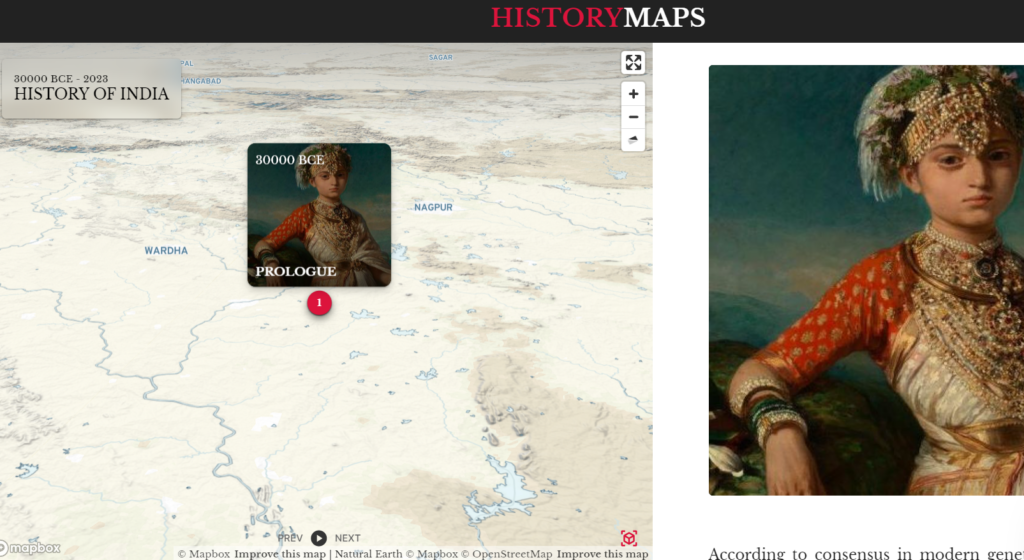
Explore HistoryMaps, and you’ll find a different aspect of history represented with each period offering interactive stories, images, and videos, like this one:
Periods Shared
HistoryMaps offers insights into various periods in history, including:
- Ancient History
- Medieval Period
- Early Modern Period
- Late Modern Period
As you find your way through each story, images of maps and various people from the time period appear.
For example, when you search for United States History, you’ll see this:
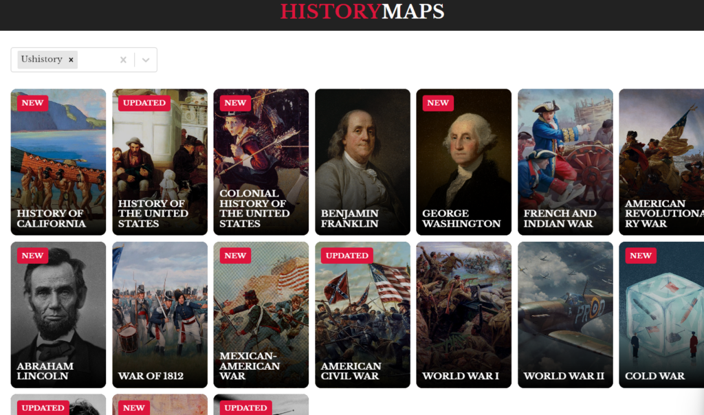
The videos that accompany each HistoryMaps are about twelve minutes long. There are embedded video advertisements that would appeal to student viewers. You will want to review these sponsored videos for relevance and appropriateness.
Mobile Apps Available
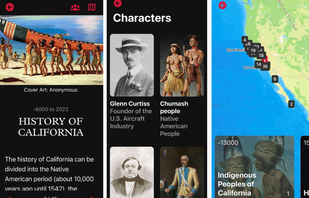
You might want to use the mobile app version of HistoryMaps website. Each HistoryMap on mobile features an opening page with content, characters, and text. The text source for characters is Wikipedia, so critical examination is a must.
In examining The History of California, you will find the mobile version. The images and maps are stunning, as is the cover art.
Critical Examination of Content
Watching The Colonial History of the United States, you will see references made to Paleo-Americans. More information appears to address concerns of Indigenous Peoples. You might want to pair student use of HistoryMaps with critical tools that look for bias in history.
Here are four blog entries that offer approaches that may assist you:
- Claim, Evidence, and Reasoning. This blog entry also includes the Four Question Method.
- Advancing Student Voice with Oral History Projects. Learn how to amplify student voices with oral history projects.
- A PBL Approach to Texas History. This offers a project-based learning approach to exploring history. You could set students up to use PBL with HistoryMaps as one of several sources of information.
- Critical Thinking and Writing in a ‘Zine Format. Explores critical thinking and offers heuristics you can share with students.
You will find Black History included as part of the Civil Rights Movement HistoryMaps.
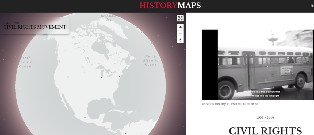
Powerful content is available to fuel learning in the classroom. Be sure to learn, interact, and explore.
Feature Image Source
Screenshot by author, HistoryMaps website

