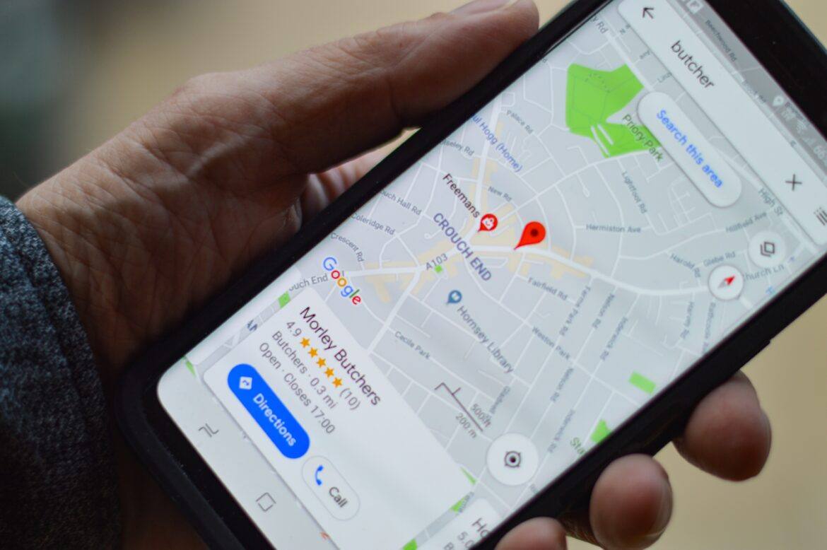
I’ve loved maps for as long as I can remember. I think I was in first grade when I saw and felt a globe with topography, where you could feel the mountains. Ever since then, I’ve loved exploring physical maps and atlases and creating my own. Thankfully for my map-loving self, technology offers us more access to information about our earth than ever before. I’ve used Google Earth for quite a while, and now that it is web based, it is even easier to access. In this post, I will point out some of its features, but also some other Google geographic tools you may be less familiar with.
Google Earth
 Google Earth is that globe from first grade, but with so much more. First, when you enter from the https://www.google.com/earth/ link, the satellite cloud cover you see is current. It’s not exactly real-time, but it does update often. A major advantage of the “new” web-based Google Earth is that you can search locations just like you do in Google Maps by name or keyword. Adults, and kids if they know it, will often search for their address first thing, just to make sure this Google Earth thing is legit.
Next, grab Peg Man at the lower right corner and drag him over the earth. Any blue lines or dots that appear are either Street View images you can explore or 360-degree photos that individuals have uploaded and shared. To jump back out, just click on the yellow Peg Man again. If you don’t explore anything else, spend some time with the Voyager Stories. You can access those by clicking on the ship’s wheel icon on the main menu located on the left of your screen. These are curated and self-guided trips with a wealth of information. Many include photos and textual information. Some, like the “Carmen Sandigo” voyages, are fully interactive games. You can do a keyword search for Voyager Stories in the search menu. Story results will always display in the bottom of your search results.
My Maps
 Most of us have probably used or been given Google Maps directions at some point. Google My Maps are maps that you can create yourself and with others. Just like other Google Drive apps, Google My Maps can be stored in your account and shared with friends and family, either to view or edit. This is an awesome tool for students to work on projects together. They can drop their own points of interest, complete with images, color coding, drawings, icons, and more. Another powerful feature is the ability to use spreadsheet data to automatically populate a map. Spreadsheets with location data can be automatically added to the map, along with other information in the sheet.
Street View
 Google Street View is the up-close imagery that makes Google Earth and Maps so powerful. Google generates much of this content using their famous cars, but these photos can also be uploaded by individuals who are using a 360-degree camera or using the Street View app. The images usually stick to the street, but many go off road, under water, and more. Having your students create their own 360-degree photos, especially when they are on a field trip or other travels, is a great way for them to remember and share the experience with others.
Tour Creator
 Street View is awesome, but what if you want to stitch together your own trip using those images? There is a Google tool for that! Google Tour Creator allows you and your students to use any Street View imagery, or personal 360 photos, to create interactive tours. These tours can include narration through uploaded audio files, image overlays, and points of interest. Once created, they can be shared with anyone. Check out this page for some great examples to get you and your students dreaming of the possibilities. If you are interested in creating your own photos and art, this page will give you a place to start.
Expeditions
 Is a real-life field trip not in the budget? Then explore the offerings of Google Expeditions. These trips are filled with information for you to feature with your students just as a tour guide would in real life. It is immersive and also fun to share these using virtual viewers or Google Cardboard, but they can be enjoyed without those as well. You can search through a list of over 900 expeditions here. As phones and tablets become more powerful, we are also beginning to see more augmented reality content. Expeditions has some of these experiences as well. This makes it look like artifacts, models, and animals are right inside your classroom and can be explored from every angle.
 Are you interested in data, geography, and programming? Google Earth Engine is a platform for combining the wealth of information available about our planet in creative ways. One example that will be of immediate use in your classroom is Google Earth Timelapse. This combines available satellite imagery of the entire planet into an animated time lapse. It makes visualizing change very easy. Some other Google Earth Engine projects you might want to explore are Collect Earth Online, Map of Life, and Global Forest Watch.
This post just scratches the surface of what is available to you and your students. If you would like some great tutorials and instructional ideas for Google Geo tools, my good friend and Google Earth Education Expert Donnie Piercey has put together a great collection of resources. I hope that you will explore these tools with your students and teachers. My first grade self, fascinated by maps, would so appreciate it — and you just might ignite this passion in your students, too!

