This is a guest blog post by Barbaree Duke, GEO-SIG Media Officer.
We challenge you to find a subject that doesn’t have a location or geography moment. Geography and place-based technology touches every corner of our curriculum. Think about how place and location play a part in what you teach.
The power of place can spawn discussions in English, science, social studies, math or even music classes. Thanks to the broad development of free Internet-based tools, all you need is a browser to get started and “geo” your lessons.
What are some examples of GEO-based technology in the content areas?
Setting and location are integral parts of ELA, as well as natural tie-ins with history topics. Online mapping tools, written lessons, and ready-made maps are available for a variety of historic concepts that align with literary analysis such as the Dust Bowl‘s look at social and climate conditions setting the stage of Grapes of Wrath. Seeing the boundaries and migration patterns set in the Civil War activity adds understanding to works from The Red Badge of Courage to An Occurrence at Owl Creek Bridge to Walt Whitman’s wartime poetry or even the Lincoln-Douglas debates. Adventure down the Mississippi River and explore the culture that inspired Mark Twain with maps. Works like The Watsons Go to Birmingham are great opportunities to create interdisciplinary experiences that engage younger students and span all subjects with mapping technology.

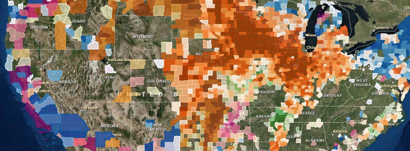
Discover where your breakfast came from with a map!
History and English aren’t the only subjects with easy geography connections. Science and math are replete with mappable moments.
Tom Baker and Roger Palmer have been sharing their ideas for some time now in a regular GEO-SIG column in TechEdge. In the August 2016 issue, “Complexity Bugs Me: Environmental Science and Biology” gives an example of an activity that examines mosquitoes and the spread of tropical disease. The idea here is to use just 15 minutes of class time to give students an analytical experience with powerful data.
Where did GEO-SIG come from?
GEO-SIG was formed several years ago to help educators embrace technologies that leverage spatial-based information. Some examples include GPS, geocaching, spatial photography, geoRSS feeds, GIS, virtual globes, and remote sensing.
If you don’t what some or any of these are, don’t worry. That’s why this Special Interest Group was created. Members network, share ideas, promote professional inservice opportunities, and support development in spatial-based curricula. We speak all map languages. If you like maps and globes, you should be a member! Consider joining our merry band of geo-enthusiasts to receive regular updates on the latest curriculum and resources available.
How can I see it and learn more?
Plug into the power of online mapping in our global technologies playground at the TCEA 2017 Convention & Exposition . Bring yourself and a friend for two hours of high voltage inspiration to engage your students. Talk with experienced educators, see demonstrations at multiple stations, get free resources, collect tokens and win fantastic prizes, bring your own device and get setup to implement online mapping and geospatial technologies in your classroom when you get home.
Our come-and-go free playground is sponsored by your GEO-SIG friends. Sign up at convention registration and join us on Thursday, February 9, 2017 from 1:30-3:30 pm at Hilton Room 412. Don’t miss the map-tastic fun!
Also, be sure to catch some of our GEO-SIGers presenting during the conference.
- Tuesday, Feb. 7th, 9:00am, Poster Pavilion, “Where, Why, Who, What, How: Data and Online Mapping”
- Wednesday, Feb. 8th at 3:30pm, Room 8AB, “We All Have a Story to Share: Engage and Inspire All”
Give your students a global perspective. Make a world of difference. Put a little mapping in your classroom.

Comments are closed.