Everything is somewhere, and everyone is from someplace. Place impacts everything, from how we live, speak, eat, believe, and make a living. Investigating places using Geo Tools doesn’t get any better than Google Earth.
Google’s Geo Tools aren’t just about geography or social studies, for that matter. You can use them to trace the Lewis and Clark Expedition, explore Italy’s architecture, measure how sea levels are rising, calculate the angles of the Louvre in Paris, or analyze the expedition of wildlife of the Galapagos Islands. Our students can use these Geo Tools to see locations that inspired stories like Macbeth or actually look inside the Globe Theatre in London. Young students learning the alphabet can pick out both physical and human features in the shape of letters, for example.
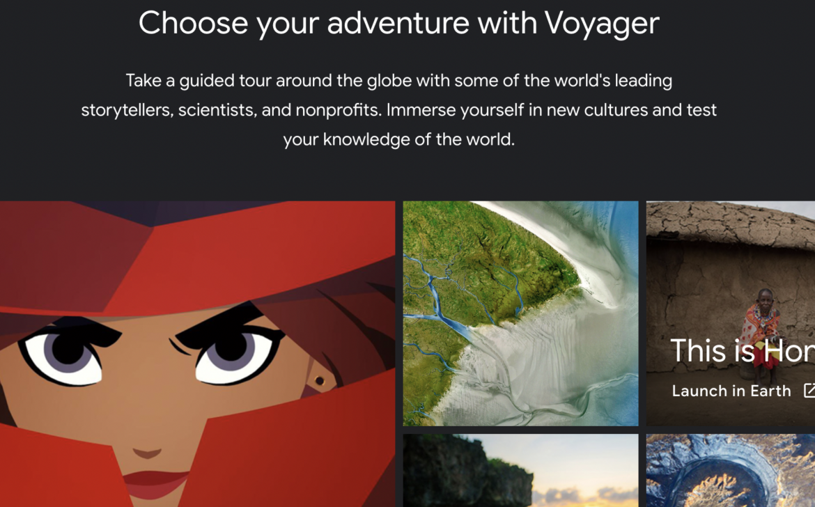
By now, we’ve probably all had some experience using Google Earth, whether that is to finally be able to see the Eiffel Tower up close or just look up your house. But did you know that a Google Earth Education site called Voyager can help bring relevance to any classroom? You can also create your own map tours.
What is Voyager?
Voyager is a program that has interactive tours. These tours can be used for inquiry-based learning and storytelling across all contents. After you open Google Earth, start exploring by selecting the icon that looks like the helm of a ship in the menu bar.
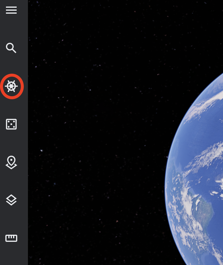
You’ll see many beautifully curated and interactive guided tours. So much has already been created that you’ll want to search to see if what you are looking for already exists before you start creating content yourself! You can do this by selecting the magnifying glass (search icon) in the menu bar.
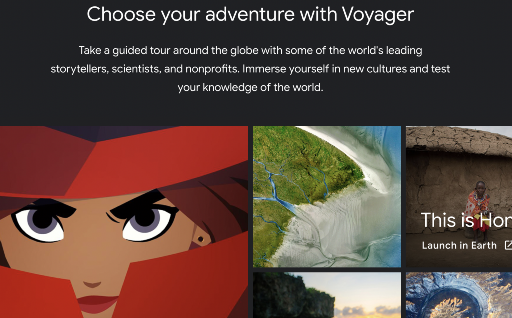
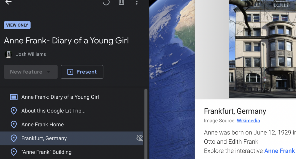
Take a look at a sample Voyager. GLT Global ED mapped the locations surrounding the events documented in Anne Frank’s diary. You can certainly get inspired by seeing what Google Earth Voyager already has in its library on various topics.
Creating Your Own Projects
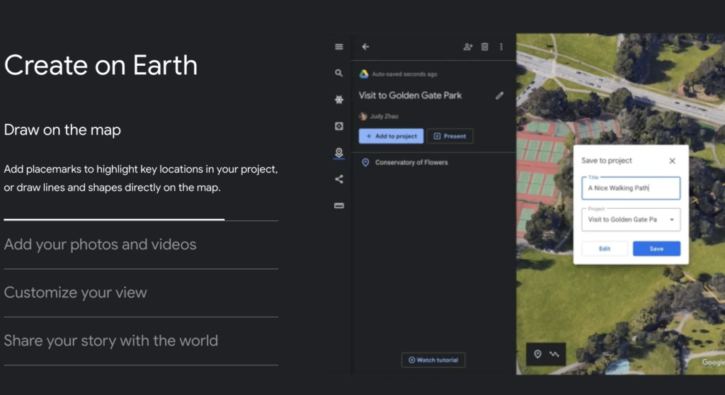
Can’t find what you are looking for? No problem. You can create your own “project.” Here are examples of what you can do in “Projects” within Google Earth:
- You can draw on the map.
- Add your own photos and videos.
- Customize your view.
- Share your story with the world.
- Use the measurement tool.
Need more information?
Take a look at this Beginner Tutorial on adding features.
If you’re wanting to go deeper, explore the Advanced Google Earth Tutorial, which has even more features.

1 comment
This is an amazing app.